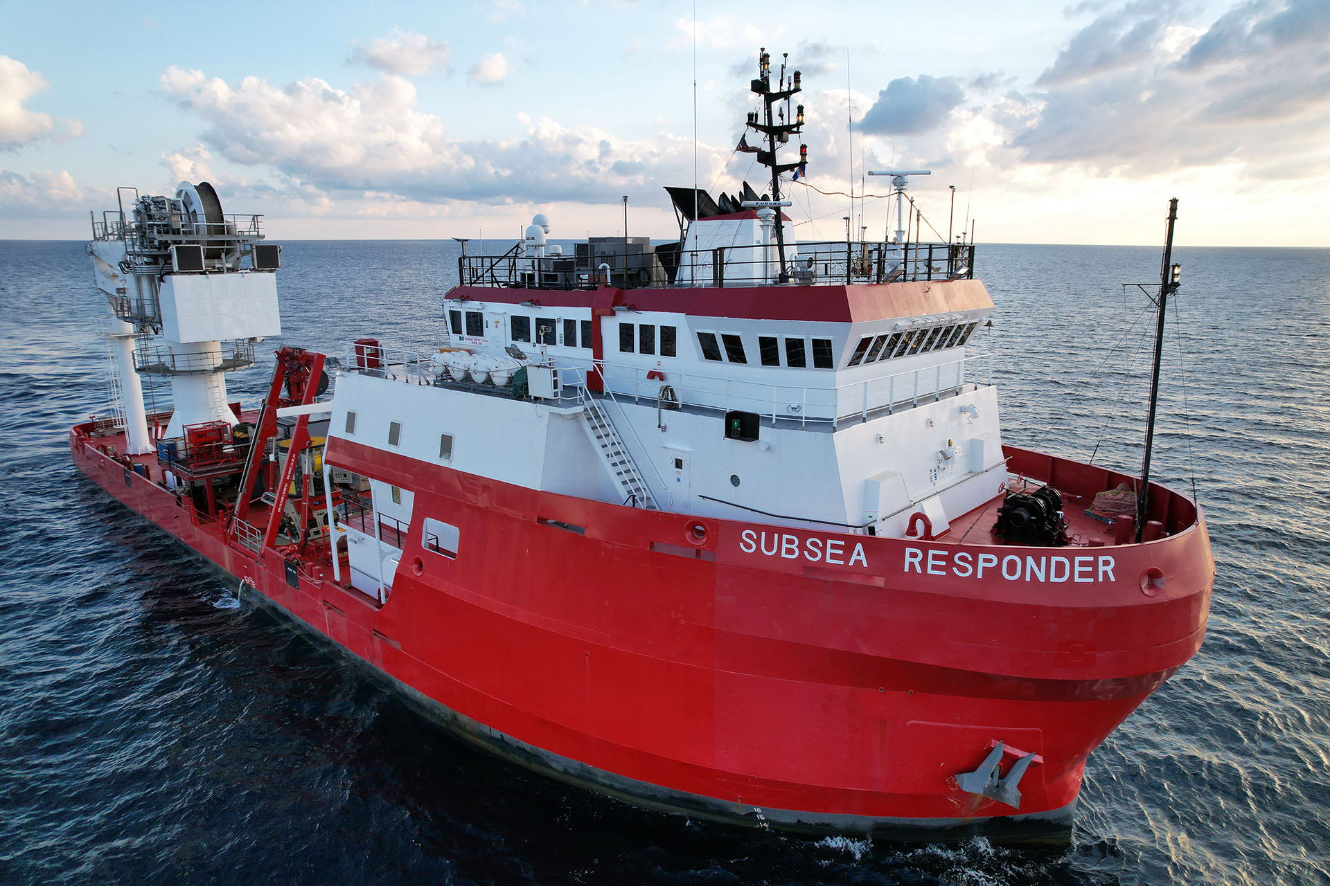
HYDRA executed a comprehensive subsea pipeline survey campaign in support of an offshore oil pipeline integrity program, utilizing the Subsea Responder I (SSR1). The scope included on-bottom pipeline inspection, high-resolution multibeam mapping, and depth-of-burial assessment across approximately 200,000 feet of subsea infrastructure.
Working in coordination with a dedicated survey partner, HYDRA delivered an integrated inspection solution that combined geophysical survey data with ROV-based visual inspection, providing a complete and reliable dataset to support pipeline condition assessment and integrity management planning.
The project scope included integrated survey and ROV inspection services across pipeline corridors and associated subsea assets:
On-bottom pipeline survey (~200,000 ft)
Depth of burial (DoB) measurements
Multibeam echo sounder (MBES) corridor mapping
Pipeline tracking and positional verification
Inspection of subsea structures and jumper systems
HYDRA’s approach combined geophysical survey data with close visual inspection to provide a complete picture of pipeline condition.
The campaign required consistent execution across extended pipeline distances while maintaining high data quality and positional accuracy. Integrating multiple data streams—including MBES, pipe tracking, and ROV visual inspection—required precise synchronization to ensure a coherent and usable dataset.
Additional challenges included variable seabed conditions affecting burial profiles, identification of free spans and crossings, and the need to maintain continuous 24-hour operations with minimal downtime. Successful execution depended on real-time troubleshooting of specialized survey equipment and disciplined offshore coordination.
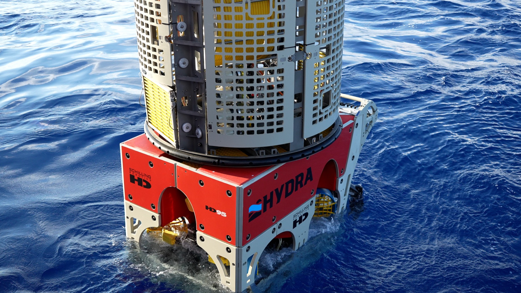
HYDRA delivered the project through a tightly integrated offshore execution model, combining ROV operations, survey systems, and specialized inspection tooling within a single vessel spread. The use of advanced technologies—including the TSS-440 pipe tracker and dual-head MBES systems—enabled high-confidence data acquisition across all survey scopes.
Experienced offshore personnel maintained continuous operations and ensured efficient coordination between vessel, ROV, and survey teams. This integrated approach minimized downtime, maximized data quality, and provided a reliable, end-to-end inspection solution aligned with client integrity objectives.
Gulf of America
Survey & Inspection Tooling
ROV Inspection System
Deliverables
As a premier topside construction, subsea engineering and project management company, Hydra provides subsea solutions and offshore construction services to domestic and international oil and gas industry clients.